|
|
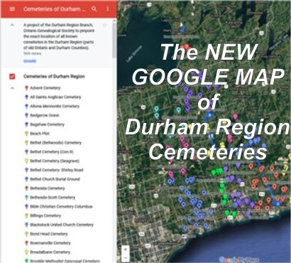
Cemeteries of Durham Region Prepared
by the Ontario Ancestors
|
|
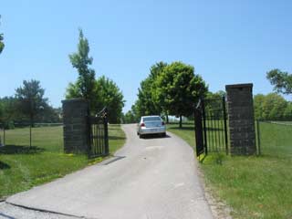
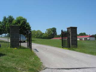
Uxbridge Cemetery
| Description |
|
|||||||||||||||||||||||||||||
|
A large town cemetery. Dating from the mid-1800's, this cemetery was used at that time by members of the Presbyterian, Methodist and Anglican churches. The cemetery was expanded in 1911. |
||||||||||||||||||||||||||||||
| Directions to Cemetery | ||||||||||||||||||||||||||||||
|
Lot 28, Concession 6 of Uxbridge Township, Ontario County (now Uxbridge). Exit Highway 401 at Brock Road in Pickering and drive north until this road joins Highway 47. Continue north and east on Hwy 47. Before entering Uxbridge, you will see the entrance to the cemetery on the north west side of the highway. GPS 44.09503, -79.13012
|
||||||||||||||||||||||||||||||
| Transcription Purchase Information | ||||||||||||||||||||||||||||||
| Transcriptions of the cemeteries in Durham Region are available for digital download from the Ontario Ancestors Marketplace. |
||||||||||||||||||||||||||||||
| Available Transcriptions | ||||||||||||||||||||||||||||||
|
An on-line index is available for those titles which are underlined.
|